-
Quizzes //
What does a geographer do?
Test your knowledge on what a geographer actually does!
HIGH SCORES
| Rank | Name | Score |
|---|---|---|
| 1st | SBr | 18 |
| 2nd | JCB | 15 |
| 3rd | ABC | 15 |
| 4th | YYP | 11 |
| 5th | ### | ### |
| 6th | ### | ### |
| 7th | ### | ### |
| 8th | ### | ### |
| 9th | ### | ### |
| 10th | ### | ### |
QUIZZES // What does a geographer do?
Q1. If we do an internet search for 'geographers', what kinds of images do we often see?
A set of colouring pencils
People looking at globes
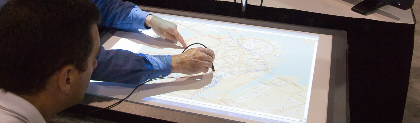
Boots and extreme gear, signalling exploration, wildernesses unspoilt by humans, maps and geography fieldwork
Geography teachers
Q2. What sorts of geography careers will this lecture cover?
Careers that can be done outside
Careers that can be done from home or anywhere in the world, careers that can make a difference, don't need a degree and make use of transferrable skills
Careers that involve maps
Careers that need a geography degree
Q3. What does the Disney film 'Zootopia' have to do with careers in geography?
Disney wanted the setting to look fantastic but believable, and so employed people who could build this world using GIS technology
Idris Elba, who voices Chief Bogo, has a degree in geography
The plot revolves around the migration from rural Bunnyburrow to urban Zootopia and discusses the push and pull factors involved in the migration
A map of Zootopia exists that formed the blueprint for a new town in the USA
Q4. What did free Wifi along the tube network allow Transport for London to do?
It allowed TfL to send messages to passengers as they were moving around the network
It allowed passengers to stream films onto their devices, making the passenger experience better
It allowed TfL to issue mobile tickets for passengers to scan on their phones
It allowed them to map how people were moving around the network so they could respond to people's behaviour
Q5. How did the Arizona state government tackle its opioid drug problem?
They monitored the water system to track where and when people were excreting drugs when they went to the toilet
They mapped drug transactions through WiFi
They used streetmap, so police could patrol the streets to find out where drug deals were taking place
They created a choropleth map to show the numbers of people visiting opioid support clinics, so that they could increase resources where they were needed
Q6. How did Comic Relief use GIS to encourage people to donate more?
They mapped where different donations were coming from to understand the communities who were giving, so that they could target their messaging
They mapped all of the Comic Relief projects so that people could see what was being funded close to home
They used data of previous donation habits to put more collectors on streets where people were more likely to donate
They added a map layer showing average income and then asked people in the most affluent areas to donate
Q7. How was GIS used to make lives better for people living in a refugee camp in Jordan?
GIS was used to track the number of refugees and how they moved around the camp
GIS was used to map the different features of the camp
GIS was used to take aerial photographs of the camp to give a picture of what was going on from the air
Geographers trained people in the camp to technologically map the services that were used
Q8. Where can you find out more about careers using geography?
Careers Spotlights on the GEO website
Careers with GIS on the ESRI website
The Royal Geographical Society's webpage 'Why you should study geography'
All of the above
Q9. What is a geomentor?
A friend who you study geography with
A GIS computer program
A piece of equipment used by professional geographers
A professional geographer, working in the field of GIS, who talks about their work to students
Q10. What has flying drones got to do with being a professional geographer?
Drones can capture data for GIS mapping from a different perspective
It doesn't, flying drones is a hobby
Flying drones can interfere with aeroplanes, meaning that people can't travel
Flying drones can help to find missing people or escaped criminals by tracking them from the air
Finished!
You scored this time. The more correct answers you give, and the fewer incorrect answers you guess, the better your score.