-
GCSE //
Using map resources part 2
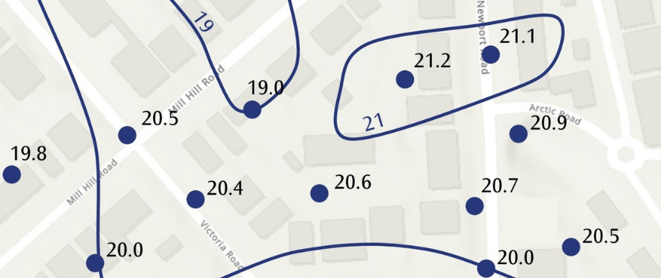
In this unit you will study the different ways quantitative data can be displayed on maps and how you might interpret them: these types of map might be used in an examination, or you might design your own data maps to present the results of your fieldwork or help you to analyse the data evidence from your investigation.
If you tried the quiz after part 1, try it again to see if your knowledge has improved.